
Walk a Moundsville Street
A sound Moundsville street directory search moves from the place to the records. The assessor and GIS map identify a parcel, its assessed owner, its physical address, and its map position. The deed index then documents recorded transfers. Dated directories or lawful voter information may add evidence about people associated with an address, but neither should be treated as a live household list. Work one parcel at a time and note the year shown by every system.
- Standardize the street, city, and state with USPS. Keep that delivery form separate from proof of who occupies the site.
- Search the statewide assessment form by county and street. Record the parcel ID, physical address, owner result, legal description, deed book and page, and assessment year.
- Open the parcel in the Marshall GIS map. Turn on parcels, addresses, streets, municipality, and any useful district or flood layer, then click each nearby polygon separately.
- Use the Marshall County Clerk index to find the deed. Follow its seller and prior book-and-page reference when title history matters.
- For a dated household clue, ask the library about address-based or criss-cross volumes. Apply voter access rules and never turn a lawful search into a private-person roster.
Moundsville Street Search Fields
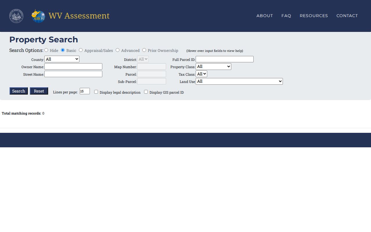
The WV Property Assessment Search is the most detailed verified address form. Choose Marshall County first. A street query can be narrowed by district, parcel components, property class, land use, sales dates, value ranges, flood status, deed reference, building year, or mailing address. Owner searches use surname first, such as SMITH J. Results are capped at 1,000, so a common street or surname needs added filters.
| Search control | Useful entry | Why it matters |
|---|---|---|
| County and district | Marshall plus the recorded district | Keeps like street names and parcel series apart |
| Street and owner | Street name or surname-first owner | Finds address-keyed or name-keyed assessment rows |
| Parcel parts | Map, parcel, sub-parcel, full ID | Targets land even when an address changes |
| Deed and description | Book, page, legal text | Connects the assessment to recorded instruments |
| Advanced limits | Sale dates, building year, class, appraisal | Reduces large result sets without bulk copying |
The screen below shows the official WV Property Assessment Search. Its many filters are useful, but recent purchases and new parcels may lag until the county submits updates.
A saved result should include the retrieval date and assessment year. That note helps explain later changes in owner names, values, or parcel divisions.
Marshall Assessor Address Records
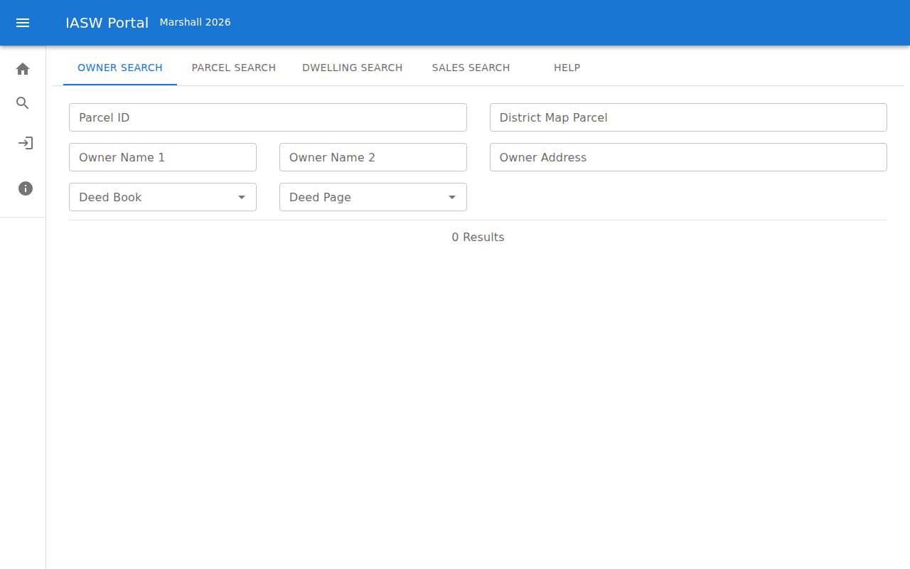
The local route is the Marshall County Assessor portal, which hands searches to an assessment-year path. The year in that URL changes, so do not assume an old bookmark still represents the current roll. The Assessor's Map Room maintains real-estate locations, ownership records, plats, and homestead-exemption records. Staff can also resolve a parcel format or update issue that the statewide screen cannot explain.
The captured Marshall IAS portal confirms the county and year context:
Call 304-845-1490 or contact the office at PO Box 554, Moundsville, WV 26041. Office hours listed in the county research are weekdays from 8:30 a.m. to 4:30 p.m. A homestead flag can support an owner-occupancy claim in the tax system, but it does not name every resident.
Map Moundsville Streets in GIS
The Marshall GIS layer set turns a street name into parcel geometry. It includes parcels, address points, streets, municipalities, school and supervisor districts, flood panels, flood zones, and base-flood elevation. Zoom to one segment, turn on only the useful layers, select a polygon, and copy its PARID. Then follow the assessment link. The map service limits a feature query to 1,000 records, another reason to examine a block rather than exporting a citywide list.
The Marshall County GIS item documents the available spatial layers.
Map adjacency is context, not proof of title or residence. Open each parcel record, keep its ID, and use the recorded deed when the exact owner interest matters.
- Parcel
- A mapped unit of land identified by the assessor.
- Situs address
- The physical location of property, distinct from the owner's mailing address.
- Plat
- A recorded drawing that shows lots, boundaries, or a subdivision.
- Criss-cross directory
- A dated directory organized by address or phone number instead of only by surname.
Moundsville Records Found by Address
No single public roll identifies everyone on a Moundsville street. Each record captures a role at a point in time. The street directory becomes reliable only when labels such as owner, grantor, permit applicant, voter, and historical householder remain distinct.
| Record Set | Keeper | What It Shows | Access |
|---|---|---|---|
| Assessment roll | Marshall County Assessor | Assessed owner, situs, mailing fields, parcel and value | Free local and state portals; office help |
| GIS parcel map | Marshall County GIS | Parcel shapes, address points, streets and overlays | Free viewer and public layer service |
| Deeds and related instruments | Marshall County Clerk | Recorded parties, legal description, book/page and prior references | IDX search; account/payment for images or downloads; office computers |
| Building and code files | City of Moundsville | Project address, submissions, public notices or applicant role | Department request; no public case index verified |
| Historical address directories | Moundsville library and catalog partners | Dated occupant or phone association when a volume exists | Catalog, library computer, staff or archive route |
| USPS lookup | U.S. Postal Service | Standard delivery city, ZIP and ZIP+4 when available | Free exact-address search; no occupancy proof |
The parcel ID and legal description make the strongest handoff from map to deed. Street wording connects the parcel to postal and permit records, but old spellings or numbers need dated evidence. This street directory method is strongest when every role and date stays visible. For historical occupants, use the separate Moundsville city directories material rather than treating a modern assessment as household history.
Follow Moundsville Deeds by Street
The Marshall County Clerk performs the recorder function. Start with the assessment detail's deed book, page, owner, and legal description. In the Clerk's IDX route, locate that purchase deed, read the seller or grantor and any earlier reference, then repeat. The county distinguishes town-lot choices called Moundsville in Clay and Moundsville in Washington. Preserve the district wording and number because choosing the wrong subdivision can hide a useful book.
The County Clerk page links the IDX Document Search, Image Search, and scanned land books.
Search computers provide another access channel. Images and downloads use an account and payment workflow, while older runs may require the office, WV Archives, or WVU finding aids. A deed proves a recorded conveyance, not who slept at the address.
Moundsville Permits at an Address
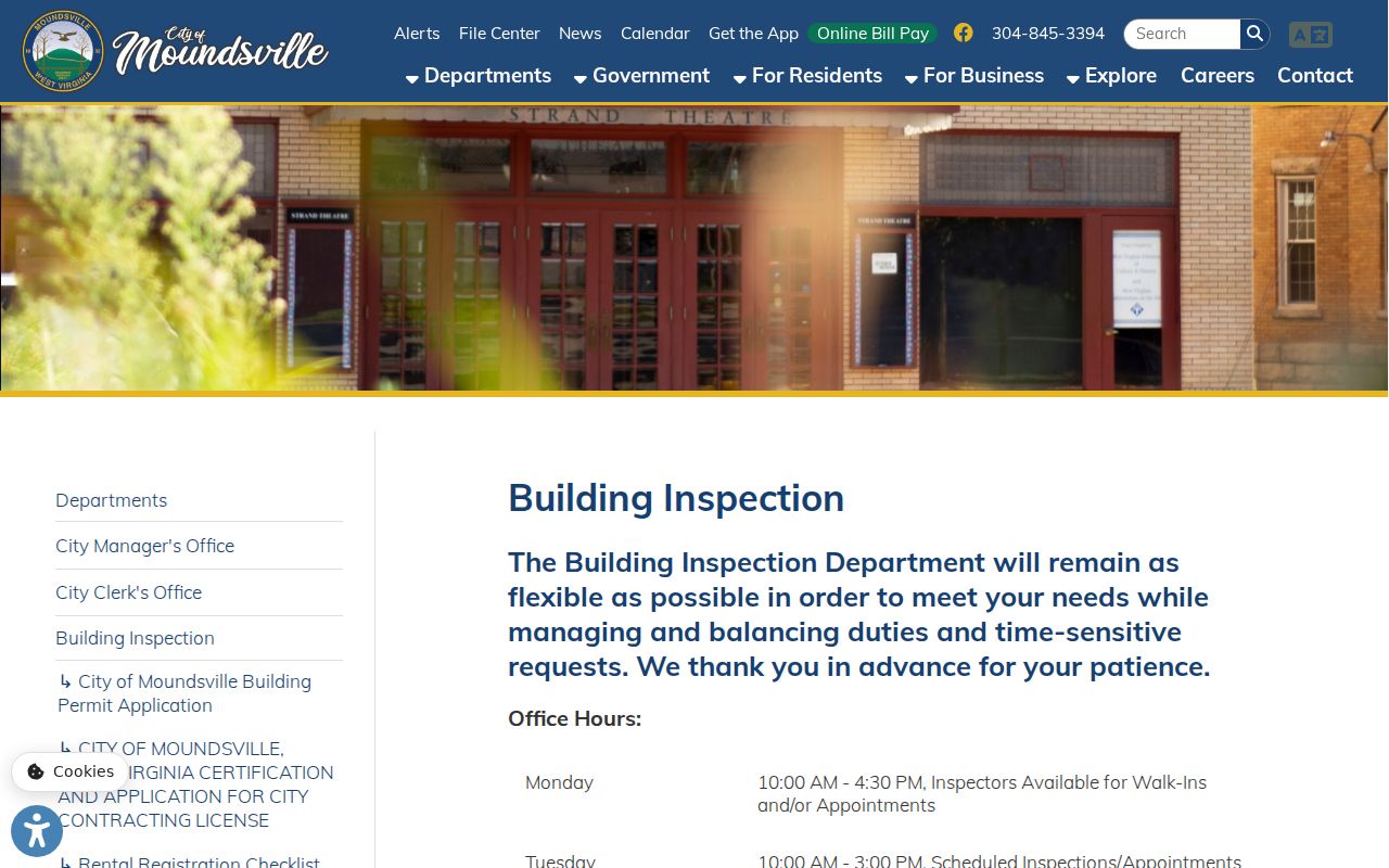
City building files can date work on a site and explain a change in its footprint. Moundsville Building Inspection handles the permit process and inspections. Research did not locate a public, searchable permit-history index, so the fallback is direct contact with the department or a focused West Virginia FOIA request to the city custodian. Give the street address, a narrow date span, record type, and preferred electronic format.
The Building Inspection page shown below identifies the official process and current contact route.
An applicant or owner on a permit is tied to that project, not automatically to every household member. City agendas and CivicClerk may add public planning, zoning, or landmark decisions by item and date.
Separate Moundsville Address Labels
Five similar-looking fields can describe different things. The assessment situs is the property's physical location. Owner mailing fields show where notices go. GIS locates a feature. USPS supplies a delivery form. A historic directory preserves what a publisher printed in a certain year. Store the source string, normalized number, street, suffix, directional, unit, municipality, ZIP, parcel ID, source date, and a short confidence note.
No official Moundsville street-renumbering chronology was found. Do not bridge an old number to a new parcel merely because the street name matches. A dated map, ordinance, deed description, directory cross-reference, or postal and GIS evidence must support the connection. ZIP 26041 is the standard Moundsville delivery ZIP, but a ZIP boundary need not match city limits.
Moundsville Street Directory Gaps
A missing name does not prove absence. Assessment data may lag a recent conveyance. A simplified parcel result may display one owner when title is shared. Address directories are dated snapshots, and the local library does not publish a verified list of its reverse-directory years. Protected addresses, non-owner occupants, household members, utility customers, and motor-vehicle addresses may be absent by law or by design.
Insider tip. Use GIS ID to assessment detail, then carry the deed book and page into the Clerk index.
When the online path ends, call the Assessor, use County Clerk search computers, ask the library for the exact year, or request a defined city file. These channels are part of a complete street-by-street search.
Limits of Moundsville Street Records
The Moundsville street directory cannot serve as a complete resident list. The federal Driver's Privacy Protection Act restricts personal information from motor-vehicle records. West Virginia's Address Confidentiality Program protects qualifying participants through substitute addresses. Vital records, sealed court files, and voter-list fields also have separate limits. USPS itself says an address result does not confirm that a person or company is there.
Use the smallest useful fact set. Date the source, preserve the custodian, and describe whether a name appeared as owner, applicant, voter, grantor, or historical householder. Never merge those roles into one current profile.
Lawful use. Moundsville address records support lawful property and family research. Never use them to track, stalk, harass, intimidate, or harm a person.