
Moundsville ZIP Directory Coverage
Official postal evidence identifies 26041 as the standard delivery ZIP for Moundsville. The surrounding codes below are controls, not extra city zones. A result for Glen Easton, McMechen, Proctor, Triadelphia, or Wellsburg should stay attached to that locality until an exact address and a government map show otherwise. This Moundsville ZIP code directory records both what is confirmed and what still needs a check.
| ZIP | Area named by USPS | Postal place | Research note |
|---|---|---|---|
| 26041 | Moundsville standard delivery area | Moundsville | Check the exact boundary by address |
| 26039 | Nearby Marshall County locality | Glen Easton | Not an alternate city ZIP |
| 26040 | Nearby Marshall County locality | McMechen | Not an alternate city ZIP |
| 26055 | Nearby Marshall County locality | Proctor | Use only after exact lookup |
| 26059 | Nearby locality | Triadelphia | Do not assign from proximity |
| 26070 | Brooke County | Wellsburg | Not Moundsville |
No official source established a ZIP split year, neighborhood crosswalk, carrier-route map, or ZIP-level population count for Moundsville. Leaving those fields open is more sound than treating a commercial sketch as official. ZIP 26041 is the firm starting point, while a street query supplies the needed precision.
Verify a Moundsville ZIP
The USPS ZIP Code Lookup offers “ZIP Code by Address,” with street, city, and state, and “ZIP Codes by City and State.” The first is best when a building is known. The second confirms the standard city assignment. Neither identifies an occupant.
The source interface below is the right place to resolve a full delivery address before using the ZIP code directory. It returns a standard city, state, five-digit code, and ZIP+4 when available.
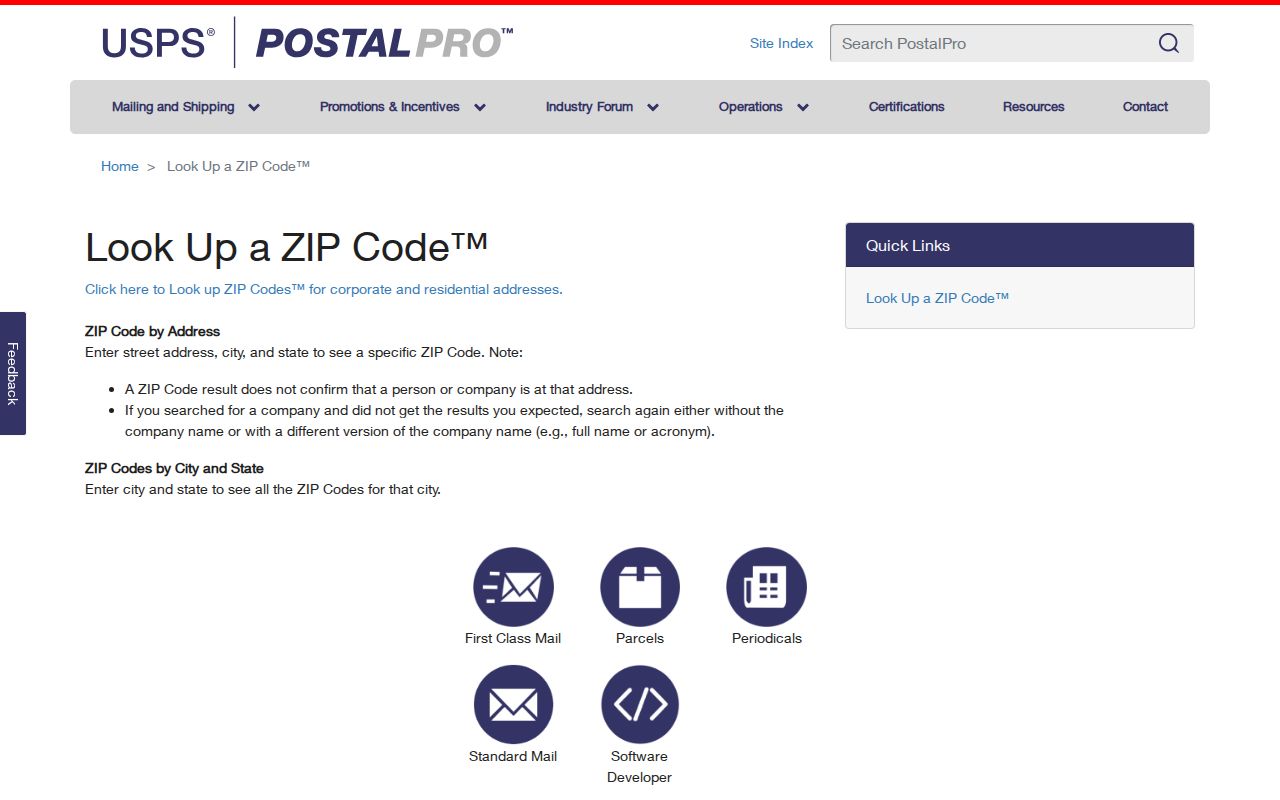
The screen shows the official lookup route, which should replace guesses based on a street name or nearby town.
| Lookup field | Use |
|---|---|
| Street address | Needed for an exact address result |
| City and state | Confirms the broad delivery assignment |
| Returned ZIP+4 | Keep only when mailing needs that precision |
| USPS warning | The result does not confirm a person or company |
Find Moundsville Residents by ZIP
A ZIP narrows a search but does not supply a resident roster. In Marshall County, combine postal verification with a parcel query and map check. The assessment system can search a street and county, while the map tests municipality and parcel location. Keep owner, mailing address, and physical address distinct.
- Confirm the city result or enter the exact address in USPS.
- Choose Marshall County in the WV Property Assessment Search, then narrow by street, owner, district, or parcel.
- Open the parcel in the WV Property Viewer and compare physical address, municipality, and parcel ID.
- Record the source date and role. An assessed owner is not always an occupant.
Once the ZIP has narrowed the area, the Moundsville directory by street explains the parcel-by-parcel route. That change from ZIP to street is vital because 26041 alone cannot connect a name with a home.
Moundsville Postal History Clues
An old envelope or city directory may show a rural route, old post-office name, or form that differs from today’s. Preserve the printed wording. Add the current reading in a separate note. Replacing old text destroys a useful clue about when an address was used.
The USPS Postmaster Finder accepts ranges based on the first three ZIP digits. USPS calls the database historical and warns it may not be current. The screen below adds postal context, not proof of a present office, resident, or boundary.
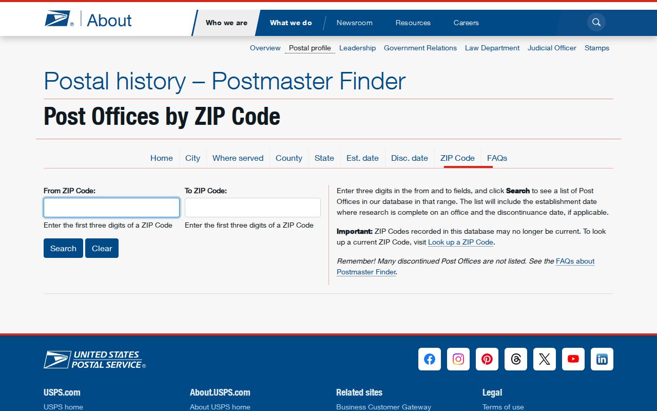
Pair its result with a dated directory, deed, or map so an old postal name is not mistaken for current city geography.
Moundsville ZIP and City Limits
ZIP codes route mail. They do not draw municipal borders. A delivery address may say Moundsville when the parcel lies beyond the legal city, and a nearby postal place does not settle which government has jurisdiction. Marshall GIS municipality and county-boundary layers answer that different question.
- ZIP code
- A five-digit routing code, not proof of residence or city limits.
- ZIP+4
- Four added digits that narrow delivery to a route or block.
- PO-box ZIP
- A code for post-office boxes. No separate Moundsville example was verified.
- Unique ZIP
- A code for one large recipient. No local example was verified.
- Carrier route
- A delivery path within a ZIP. No full public local crosswalk was found.
Boundary check. Treat 26041 as postal evidence, then use parcel and municipality layers before saying an address lies within Moundsville.
Moundsville ZIP Map Context
The Marshall County GIS layer inventory lists parcels, addresses, streets, municipalities, county boundary, flood data, school districts, and supervisor districts. It does not list an official neighborhood layer or a carrier-route boundary. A school overlay is a geographic assignment, not a neighborhood name or clue about a person.
Use the municipality layer to test a Moundsville postal address, then select a parcel for its physical location and assessment link. This inventory explains why the Moundsville ZIP code directory pairs postal evidence with GIS instead of treating ZIP geography as the city line.
Wellsburg Is Not Moundsville ZIP
Grouped label lists can create an easy mistake. ZIP 26070 belongs to Wellsburg in Brooke County, not Moundsville. Its number may appear near 26041 in a sorted list, but numerical proximity is not geographic coverage. The same care applies to codes for Glen Easton, McMechen, Proctor, and Triadelphia.
This clears up a common myth: a code listed near another code is not an alternate for the same city. Exact USPS search controls the delivery result. County and municipal layers answer the separate location question.
Note: Keep postal city, legal municipality, parcel situs, and owner mailing address in separate fields so conflicting labels stay visible.
Moundsville ZIP Records Stay Separate
The ZIP code directory works best when each role is labeled. USPS standardizes delivery. The assessor connects an owner to assessment data. GIS locates a parcel. A deed identifies recorded parties and a legal description. None is a master list of people living within 26041.
| Record | What it establishes | What it cannot establish |
|---|---|---|
| USPS result | Delivery format | Occupancy or city boundary |
| Assessment result | Tax owner and parcel details | Each household member |
| GIS parcel | Mapped parcel and overlays | A title opinion |
| Historic directory | A dated name-address clue | Current presence |
A missing result may reflect update lag, alternate spelling, another delivery city, or a source that never held the requested detail. Ask the custodian rather than merging weak matches into one profile.
Record Moundsville Addresses Precisely
Sound ZIP research saves the original source string and the normalized version. Record street number, name, suffix, directional, unit, city, county, state, ZIP, parcel ID, municipality, source date, and a brief confidence note. Add ZIP+4 only for a real mailing need.
Historical printed address, current situs address, owner mailing address, GIS location, and USPS delivery address should not overwrite one another. For land work, parcel ID and legal description are stable keys. For an old directory, volume, year, and page form the citation. That discipline keeps the Moundsville ZIP code directory useful as formats change.
A record with only Moundsville and 26041 does not support a made-up street address. Likewise, a tax mailing address should not replace the parcel’s physical address merely because it is easier to read. Preserve both labels and note which office supplied each one. If two systems disagree, compare their dates and parcel identifiers, then ask the Marshall County Assessor or the relevant custodian to clarify its own record.
This source-aware method is also useful for historic searches. Record an old rural route or printed city exactly as it appears, then place the modern postal reading next to it. A dated deed, map, or directory can show why two forms differ. Without that bridge, the honest result is unresolved rather than a guessed match.